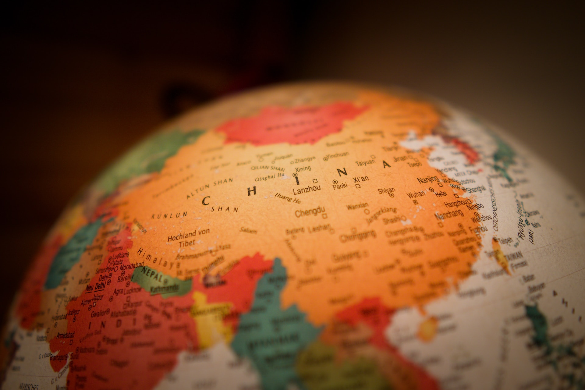
China is one of the largest countries in the world. With a land area of 9.6 million sq km, it occupies one-fifth of the Earth’s and one-fourth of Asia’s total area. It is almost as big as the European continent. Only Russia and Canada have a larger land area than China. The country also has about 3 million sq km of sea area under its jurisdiction, based on the UN Convention on the Law of the Sea and China’s proposal.
China is in the northern hemisphere, with all its territories (including sea area and islands) north of the equator. North to south, its territory stretches 5,500 km from the center of Heilongjiang River to the Zengmu Reef on the southern-most tip of Nansha Islands in the South China Sea. So huge is its land area from south to north that the island province of Hainan still basks in warm sunshine when Heilongjiang Province is in the grip of freezing winter. The distance from its eastern-most tip at the confluence of Heilongjiang and Wusuli rivers in Fuyuan county, Heilongjiang Province, to its western-most tip in the Pamir Plateau in the Xinjiang Uygur autonomous region is 5,200 km. When the rising sun sheds its golden light on the Wusuli River, the sky over the Pamirs is still lit by stars.
China has a 20,000-plus-km-long land boundary, extending from the estuary of the Yalu River on its border with the Democratic People’s Republic of Korea (DPRK) in the east to Kazakhstan, Kyrgyzstan, Tajikistan, Afghanistan and Pakistan on the west. It also shares its northern border with Russia and Mongolia, and its southern with India, Nepal, Bhutan, Myanmar, Laos and Vietnam. The Chinese mainland faces the Bohai Sea, the Yellow Sea, the East Sea and the South China Sea on the east and south, and is separated from Japan, the Philippines, Malaysia, Indonesia and Negara Brunei Darussalam by the sea.
The country has a coastline of more than 18,000 km, which starts from the estuary of the Yalu River in the north and ends at the estuary of the Beilun River on its border with Vietnam in the south. China’s shape resembles a crescent moon protruding into the sea. Its coastline, divided by the Hangzhou Bay, varies from rocky mountains in the south to sandy plains in the north. The zigzag mountains coast rises and falls continuously, shaping numerous ice-free natural harbors that allow traffic all year round, allowing favorable geographical conditions for ports and development of sea transport. The flat plain coast, with fewer rainy days, offers wonderful sand beaches for developing tourism, and muddy beaches with strong sunlight that facilitate diversion of seawater to make salt that also serve as raw material for the chemical industry.
About 7,600 islands, big and small, are scattered in China’s territorial waters. Their total area is more than 80,000 sq km, with more than 6,500 of them having an area of 500 sq km or more each. The 36,000-sq km Taiwan Island is the largest among China’s islands, followed by Hainan that has an area of 34,000 sq km. The two have long been reputed as “Treasure Islands,” boasting abundant resources and beautiful landscapes. The Diaoyu and Chiwei islands northeast of Taiwan are China’s easternmost islands. More than 200 islands, islets, reefs and shoals in the South China Sea belong to the Dongsha (East Sandbar), Xisha (West Sandbar), Zhongsha (Middle Sandbar) and Nansha (South Sandbar) islands groups, depending on their geographical locations. Collectively, they are called the South China Sea Islands. China’s other important island groups include the Miaodao Islands, Changshan Islands, Zhoushan Islands and Pescadores Islands. Zhoushan Islands in the East China Sea is well known for its Putuo Mountain, a Buddhist resort, and the world-famous Zhoushan fishing ground, earning them the nickname of “a holy place of Buddhism is the sea” and “an oriental fishing base.”